


| By: Paul S. Cilwa | Viewed: 4/26/2024 Occurred: 3/15/2009 |
Page Views: 1628 | |
| Topics: #California #Camping #Photography #Places #SantaCatalinaIsland #TwoHarbors | |||
| The entire family makes a visit to Santa Catalina island. | |||
Twenty-six miles across the sea
Santa Catalina is a-waitin' for me
Santa Catalina, the island of romance, romance, romance, romance…
So sang The Four Preps in 1958 with their #2-hit song, despite the fact that the island is actually only 22 miles from Los Angeles. But the song was co-written by Prep Glen Larson, who went on to become the creator and producer of Battlestar Galactica, in which a fleet of starships wanders aimlessly for decades trying to find its way to Earth; so perhaps his navigational inadequacies shouldn't come as too big a surprise.
But today's blog isn't about Glen Larson; it's about Santa Catalina island because we've just come here for the first time.
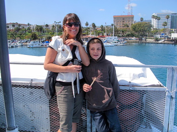
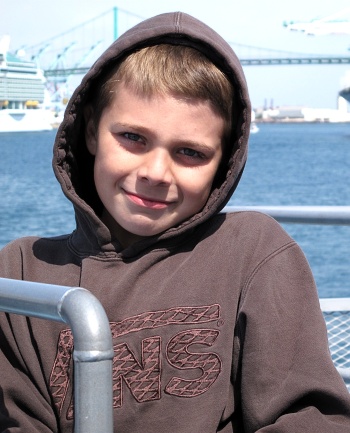
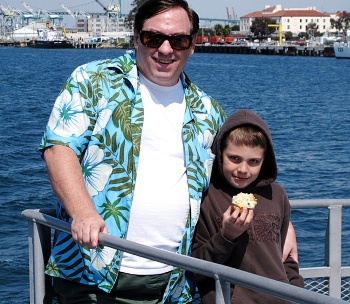
And by "we" I mean myself, Michael, Mary, Jenny and Zachary. We spent yesterday packing with the plan to leave home at exactly four. At 4:15 we were waiting at the bottom of the stairs for Michael to make an appearance, which he finally did about 4:30 am.
The trip was Jenny's idea. She had originally planned to spend "Beach Week" (Zachary's spring vacation) at a resort in Mexico, and for everyone who could to come along. There were a couple of problems with this plan, starting with the fact that my passport has just expired and I haven't yet had a chance to renew it, and ending with the impending civil war between the drug lords and the Mexican army. So she backtracked, and decided on Santa Catalina.
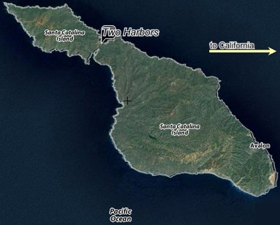
Santa Catalina Island is part of the Channel Islands of California archipelago, about 22 miles long and at most 8 miles wide, though at it's narrowest, the town of Two Harbors, it is only a half mile wide. In the early years of the 20th century, the entire island was owned by chewing gum magnate William Wrigley, Jr. However, most of it is now owned and managed by the Catalina Island Conservancy.
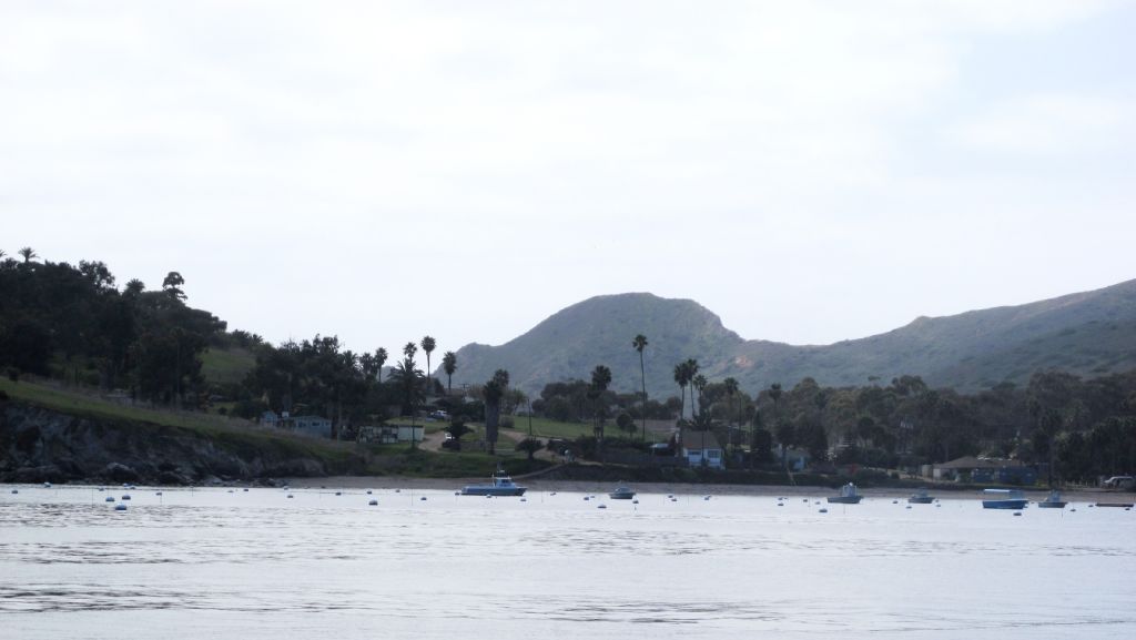
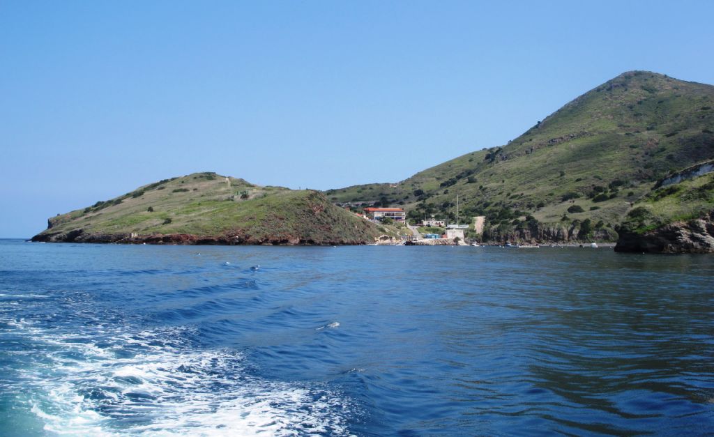
Avalon is the largest city on the island but that was not our destination. Jenny and I settled on the town of Two Harbors, located at the narrow isthmus between the western and eastern mountains that make up the island.
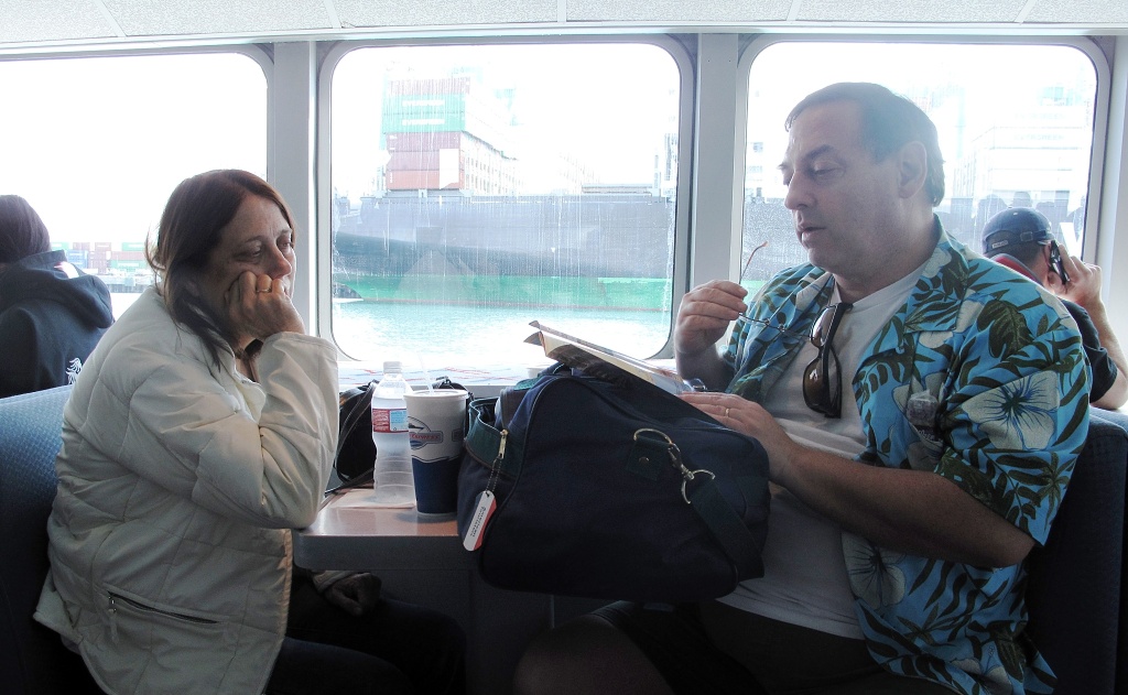
That left the actual logistics up to me. For example, Jenny hadn't realized an actual ferry trip would be required. And I couldn't stay away from work an entire week. So we left our house with the SUV but also with Jenny's car, which we parked along the way at the airport's economy lot so I could pick it up on my way home. I then joined them and we set out for San Pedro, part of the Long Beach pier complex west of L.A.
The trip was made without incident, though I was concerned we would arrive too late for the ferry—and there was only one sailing to our destination today. But we did make it, and got our stuff onto the ferry somehow. Each person was entitled to two pieces of "luggage" and one carry-on. The luggage was limited to a certain size. Fortunately, my two camping crates (containing a tent, air mattress, sleeping bags and pillows) with within that limit. Jenny, who did most of the packing, managed to get everything else into rolling suitcases and duffels.
Mary was already a tad motion-sick from the ride, despite taking Dramamine. (Bonine is better but we were out of it.) Mary settled into a nice spot near our stuff on the ferry and tried to make the best of the crossing.
The day was perfect weather for a short sea voyage.
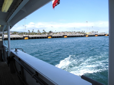
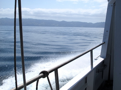
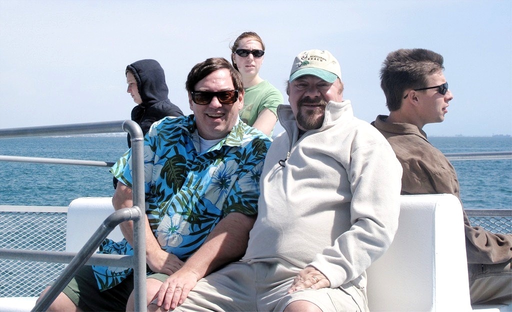
Our ship was a sturdy catamaran, but (we were told) the crossing was unusually rough. Mary wound up spending most of it in one of the ship's heads. (That's a "bathroom" for you landlubbers.) Zach was fine early on, but eventually even he and Jenny succumbed to the rocking.
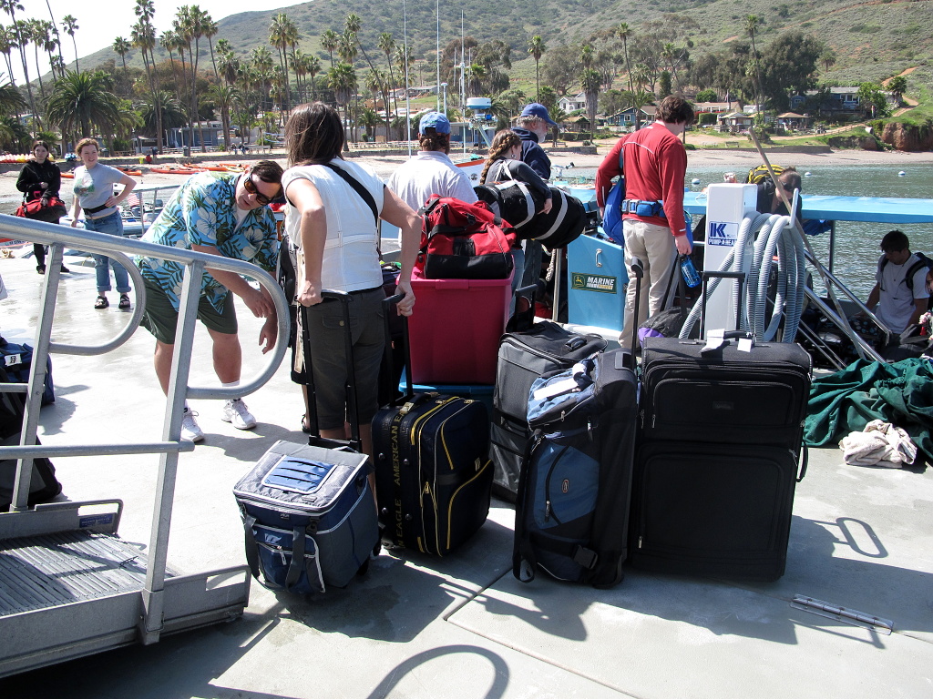
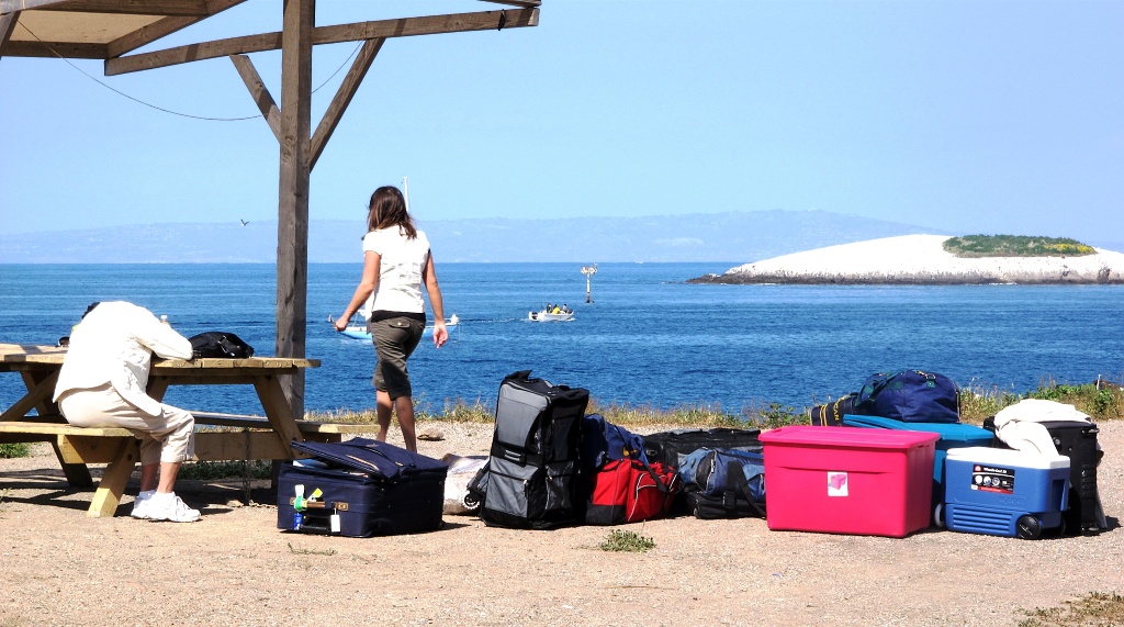
Getting our luggage off the ship was almost worse than getting it on. However, sharp-eyed Jenny spotted a luggage rack, which she rolled over and which quickly made the task much easier.
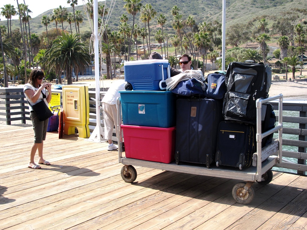
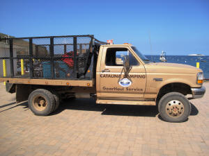
Our instructions were to "check in" at Two Harbors Visitor Services, as if the town itself were a theme park. The Visitors Services building was easy to find, however, being right at the land end of the dock; and Jenny quickly made arrangements for the "gear hauling" service to bring our stuff to our campsite. (Normally they deliver to the center of the campground; Jenny thought to tip the ranger who then delivered right to the spot!)
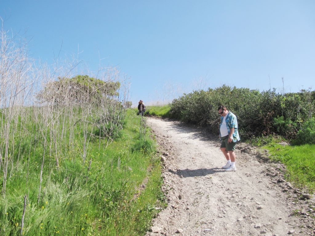
The campground was just a quarter-mile stroll from the Visitor Center, so the woman at the Center told us, and gave directions. What she failed to mention was that most of this quarter-mile was nearly straight up.
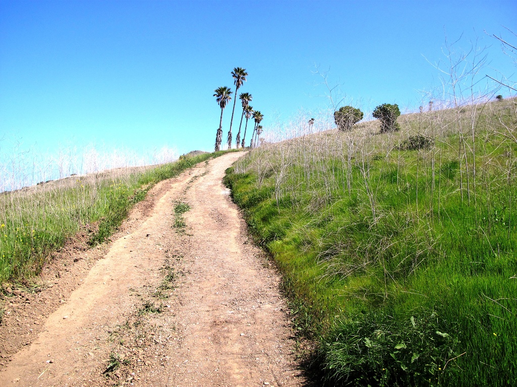
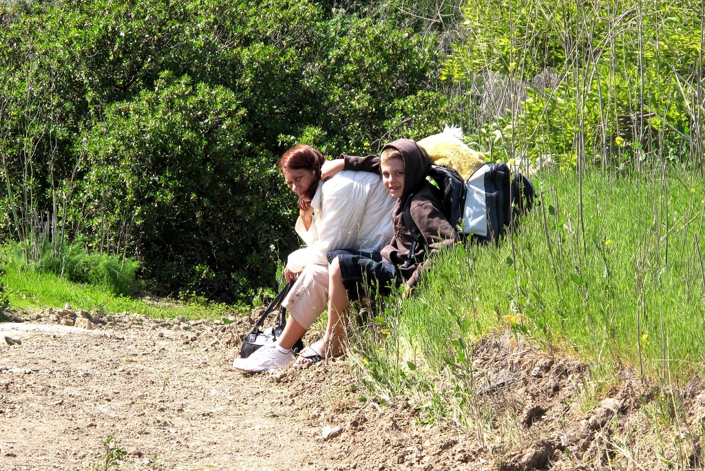
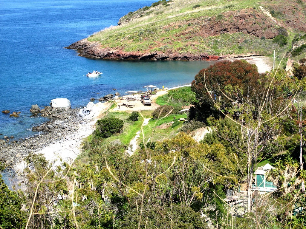
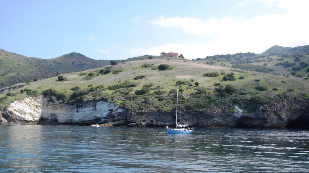
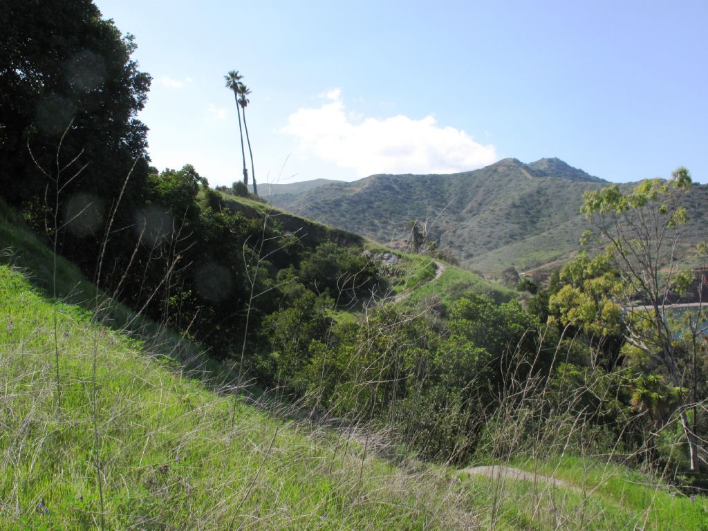
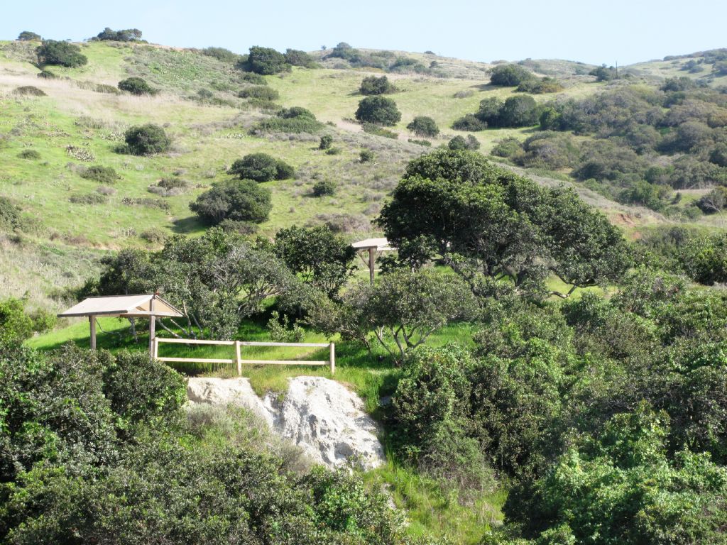
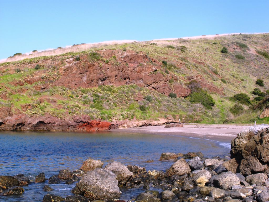
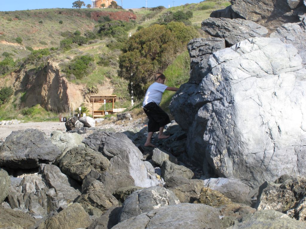
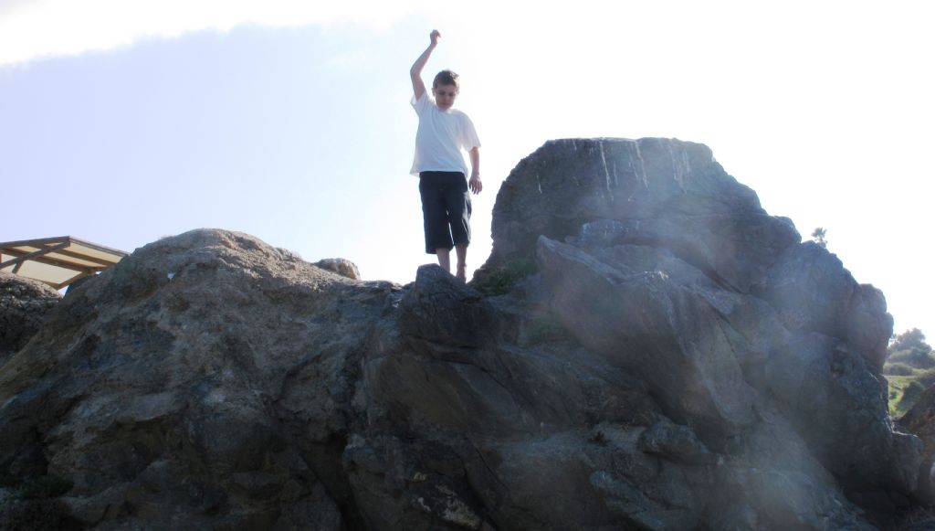
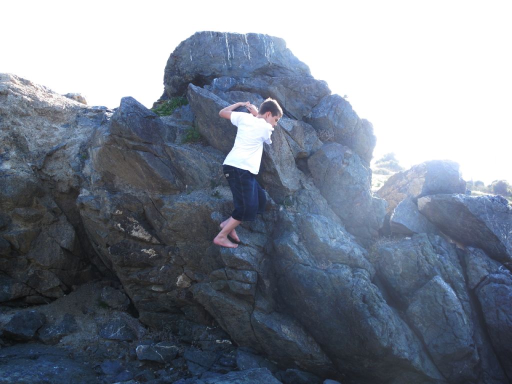
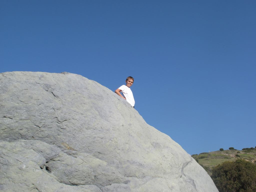
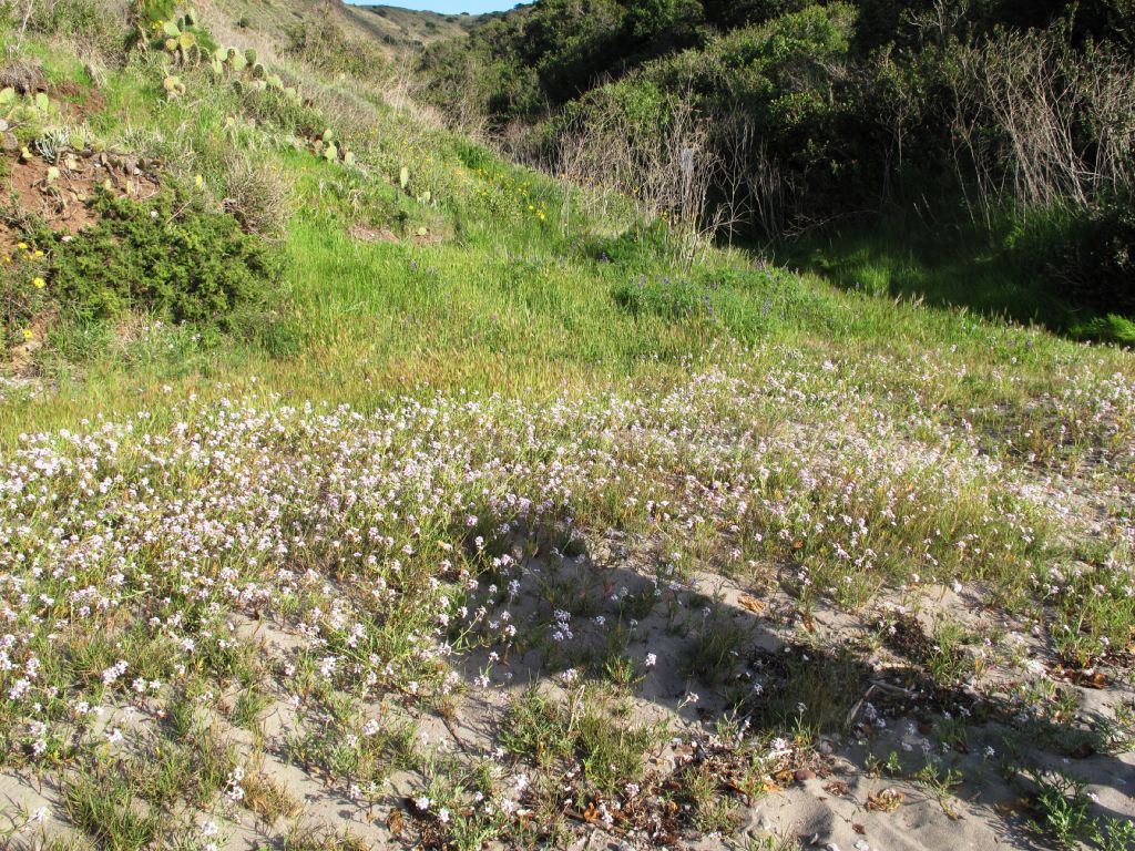
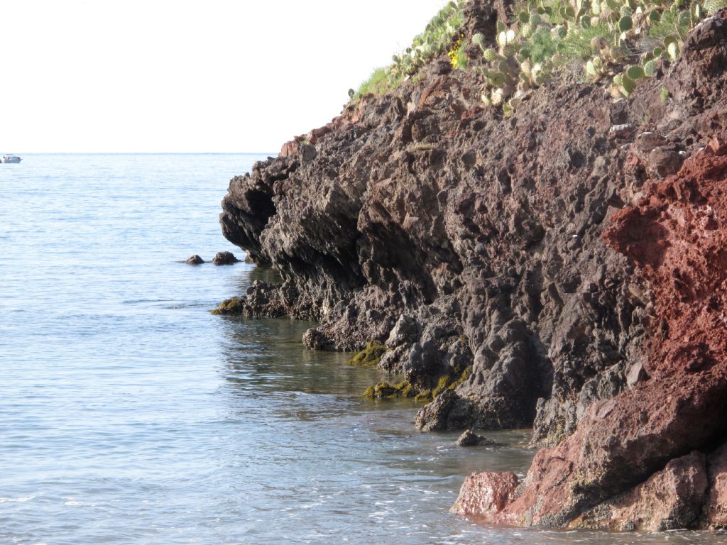
I was quite surprised at how rocky and mountainous the terrain was. For some reason I had been expecting a flatter island, more like one of the Florida Keys. But the steep trail did provide us with immediate, and rewarding, island views.
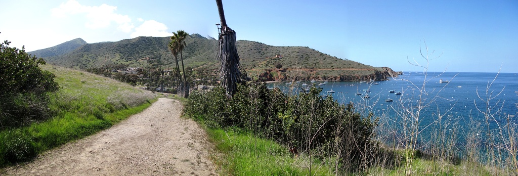
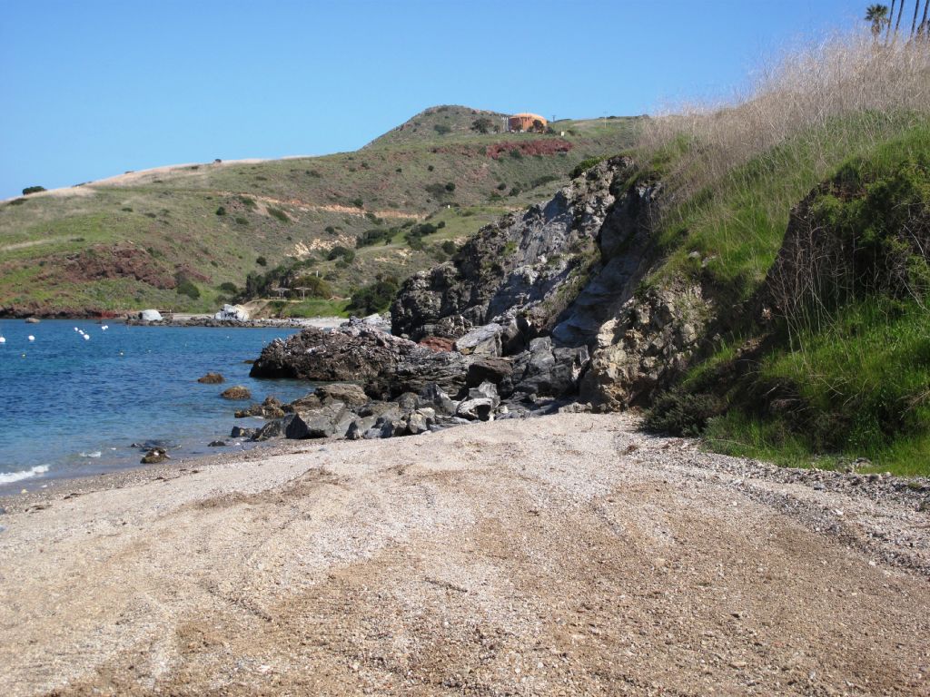
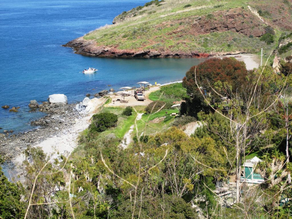
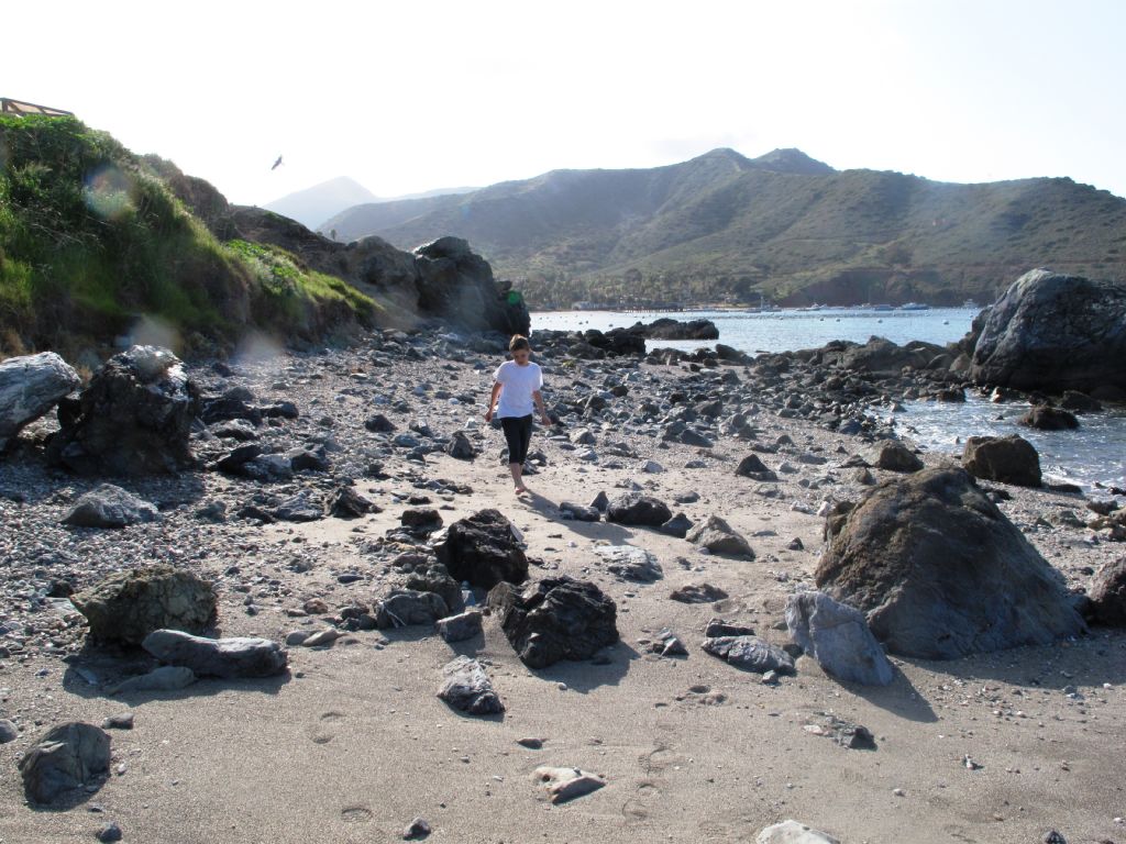
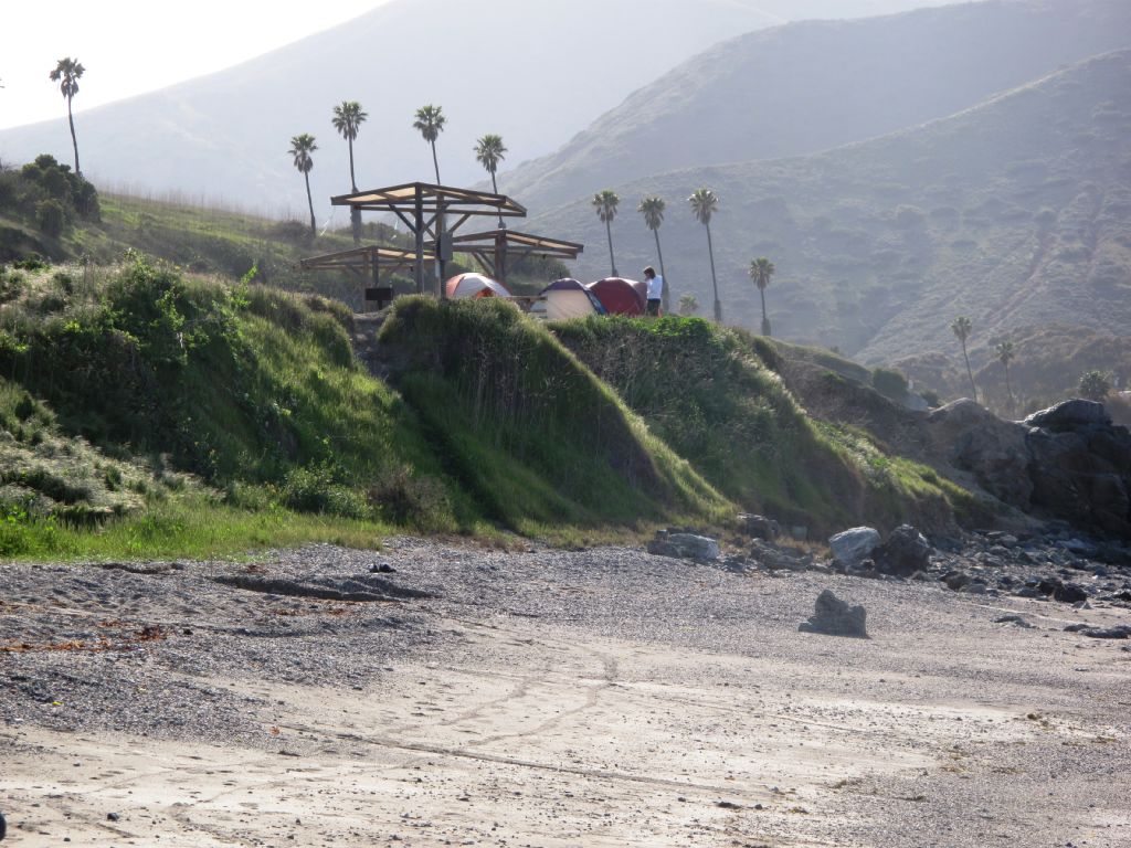
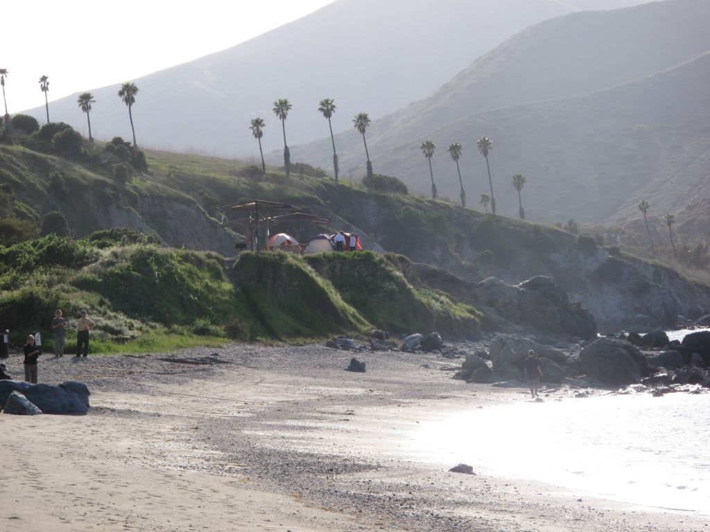
In fact, the trail went so high up the hillside that we could look down at our campsite, which was on a bluff just above the beach, and watch our gear being off-loaded from the truck.
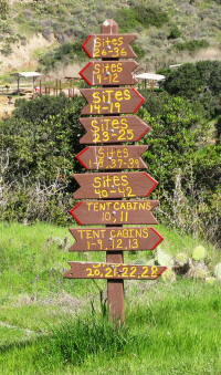
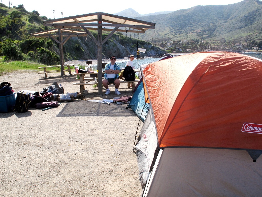
Finally, inevitably, we came to the top of the trail and the sign directing us back down to our site. Once there, we had the job of unpacking and setting up camp.
Thanks to the efficiency with which our gear had been packed, it didn't take us long to set up the three tents, and the new kitchen table and propane skillet Michael had given me for Christmas. We initially set up the tents in a row.
Dinner was cheeseburgers for the adults, cooked by Jenny on the grill, and hot dogs cooked by Zachary over the fire, for Zachary.
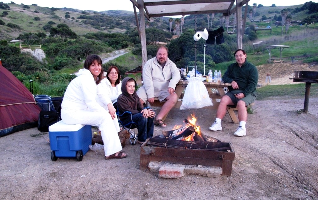
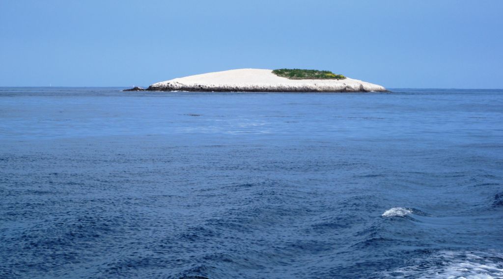
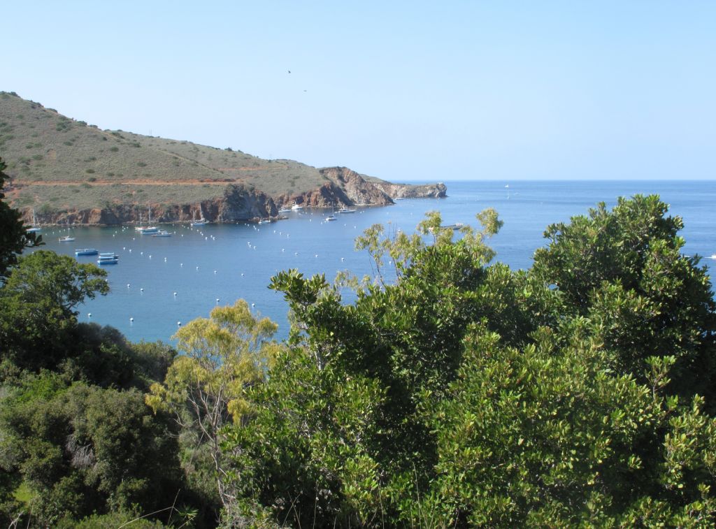
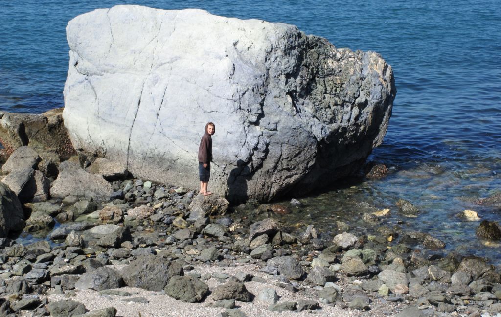
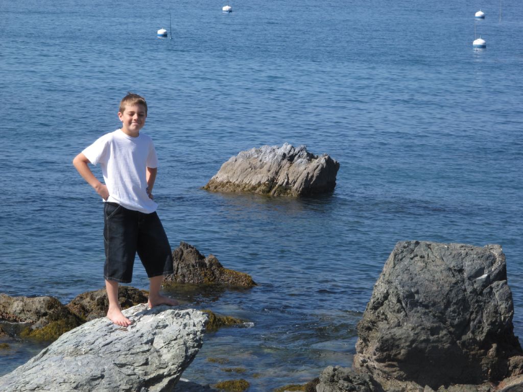
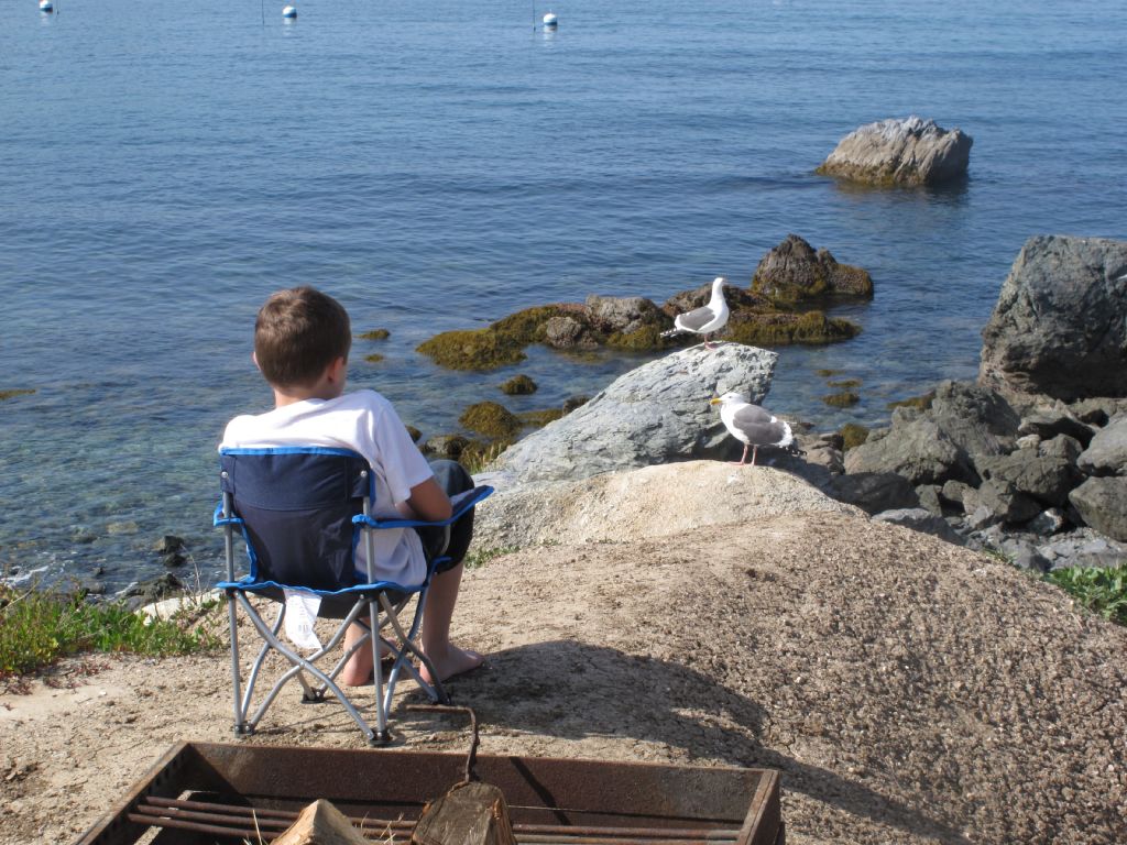
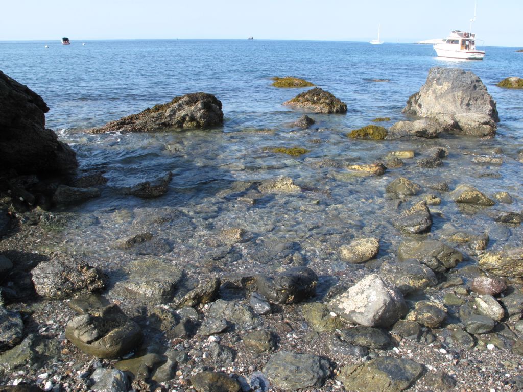
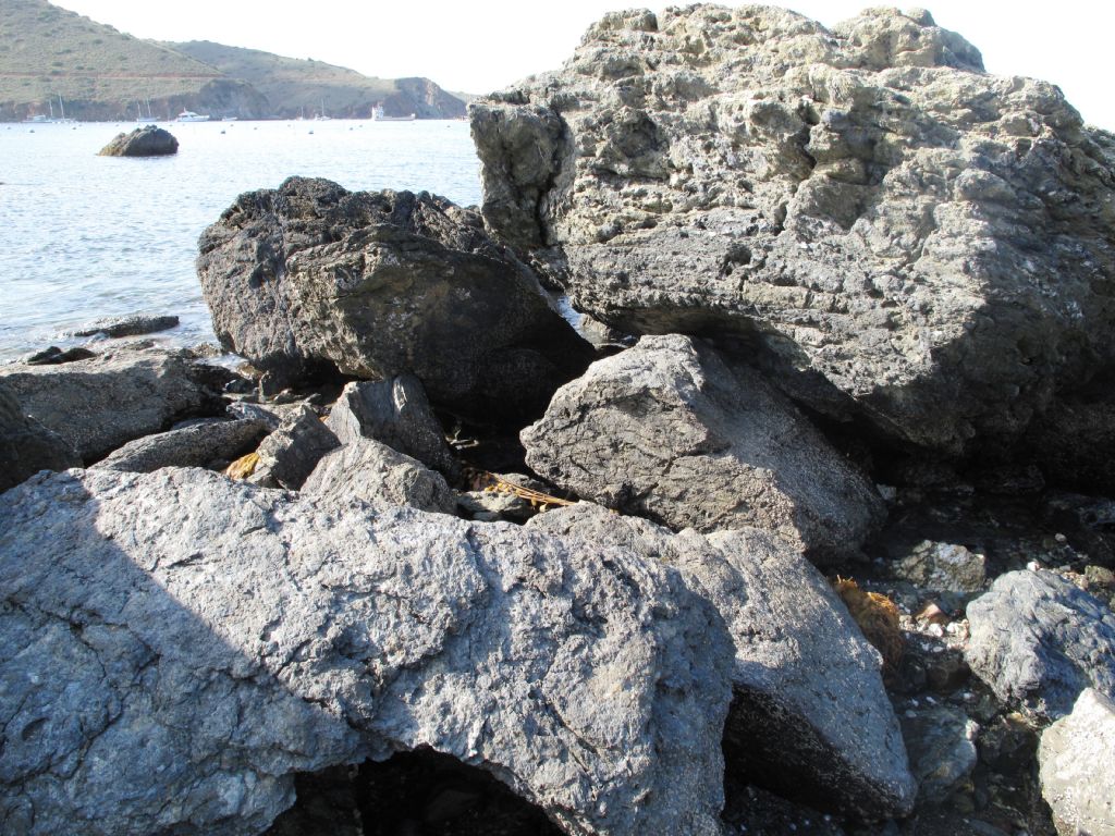
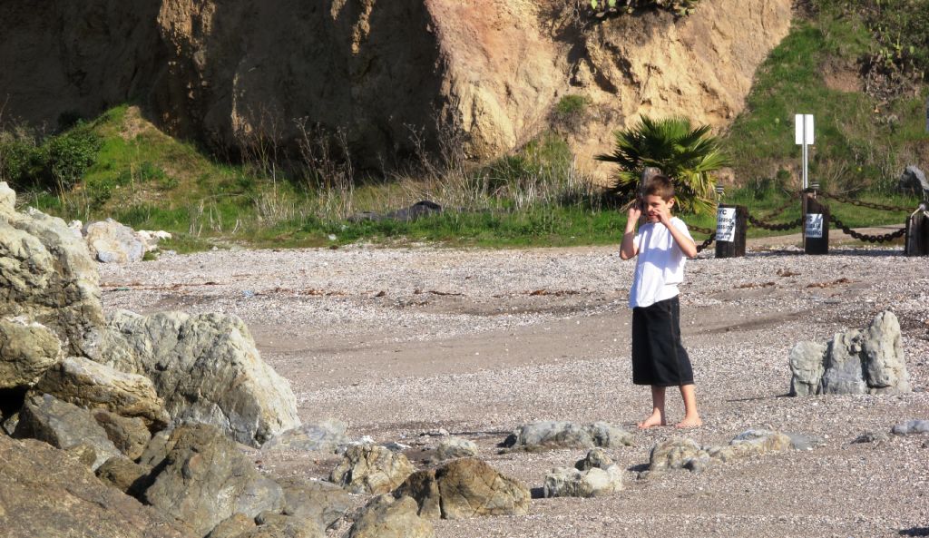
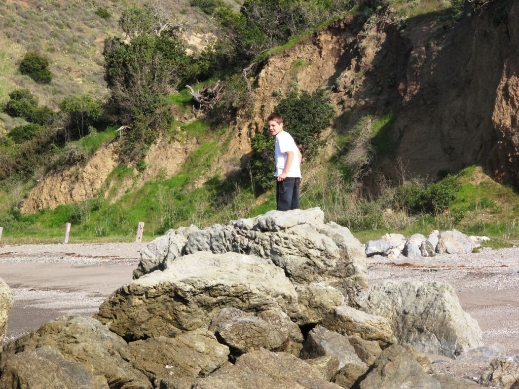
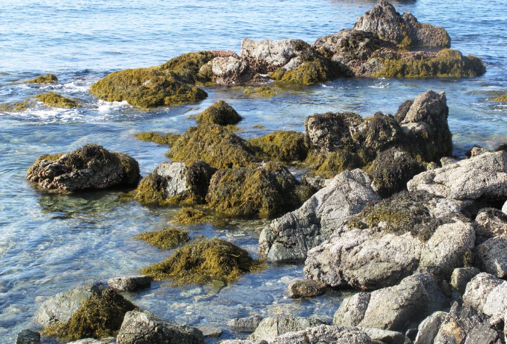
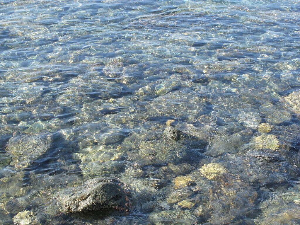
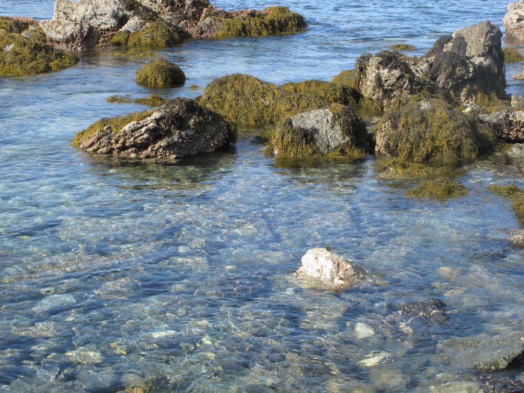
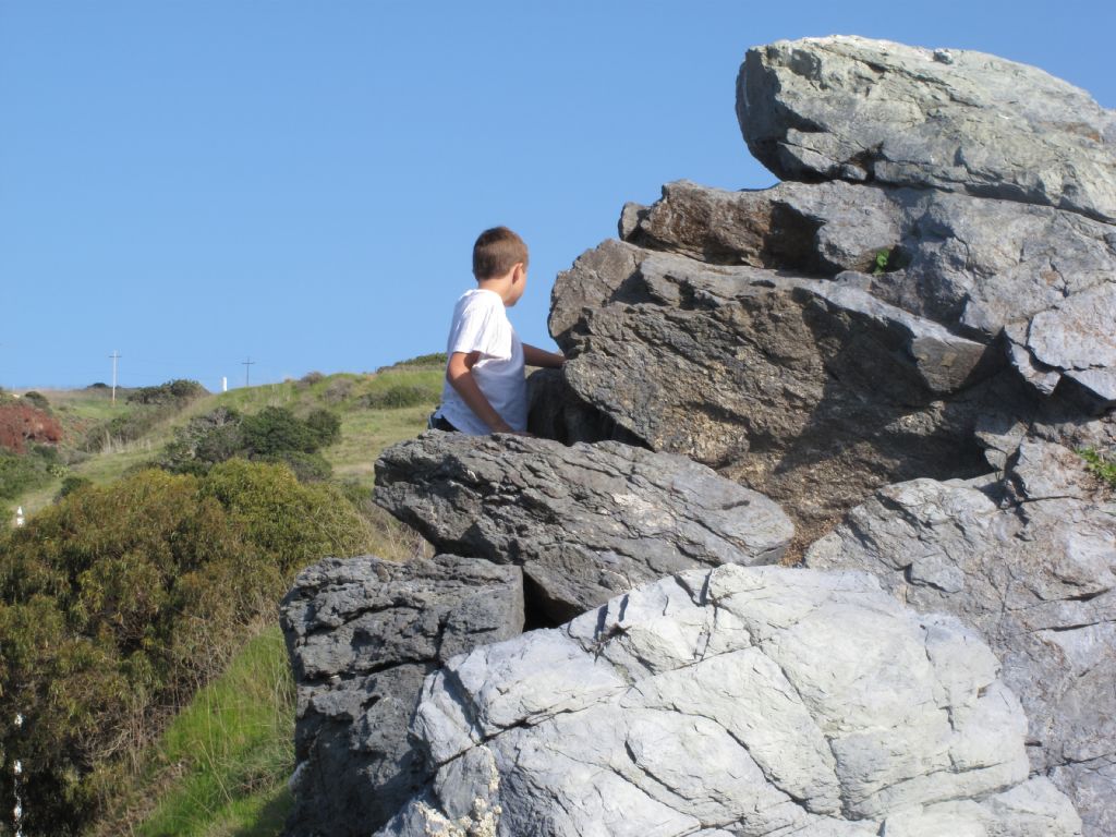
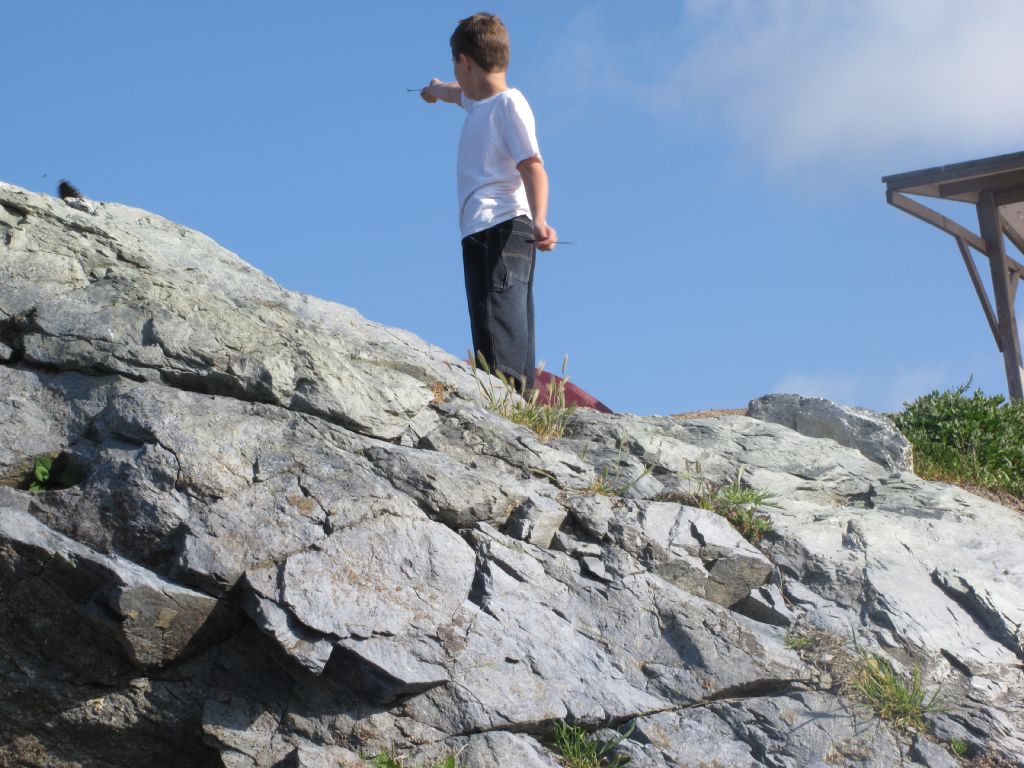
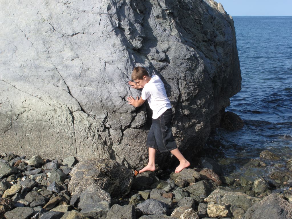
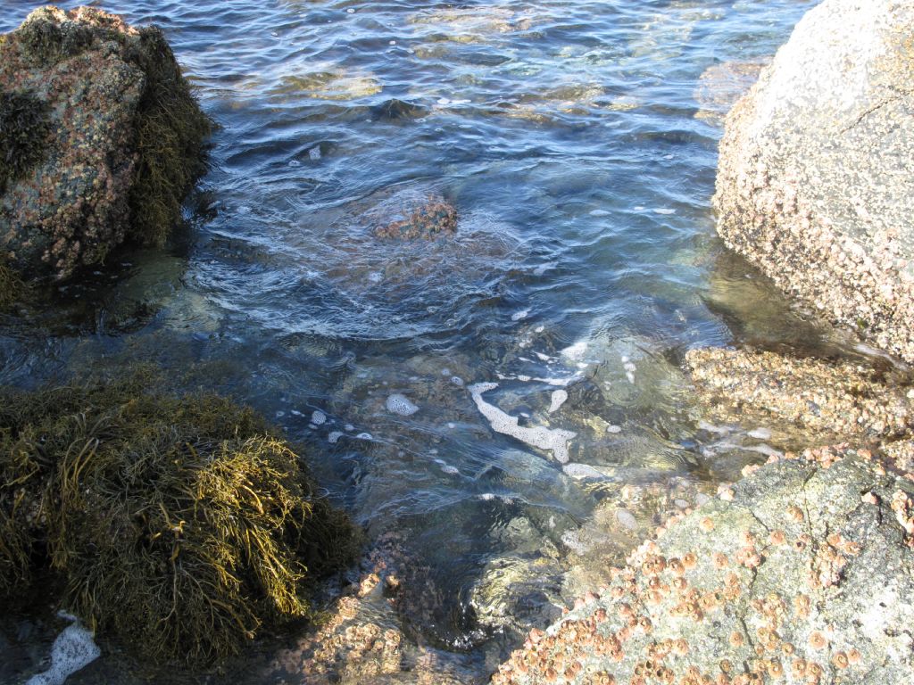
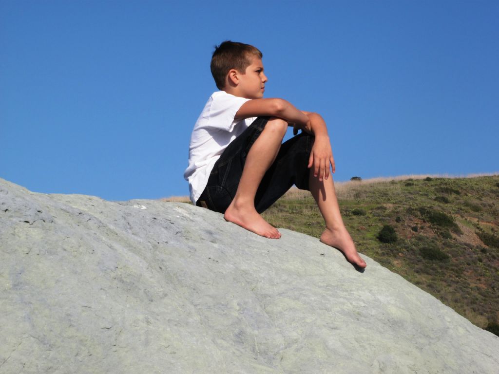
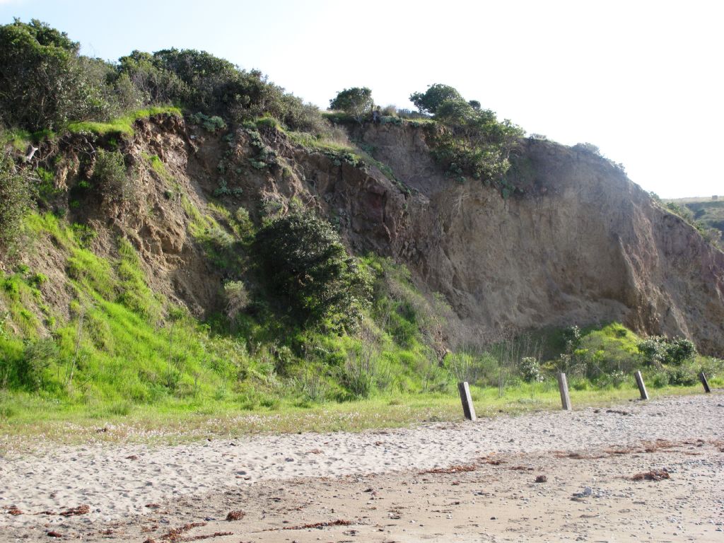
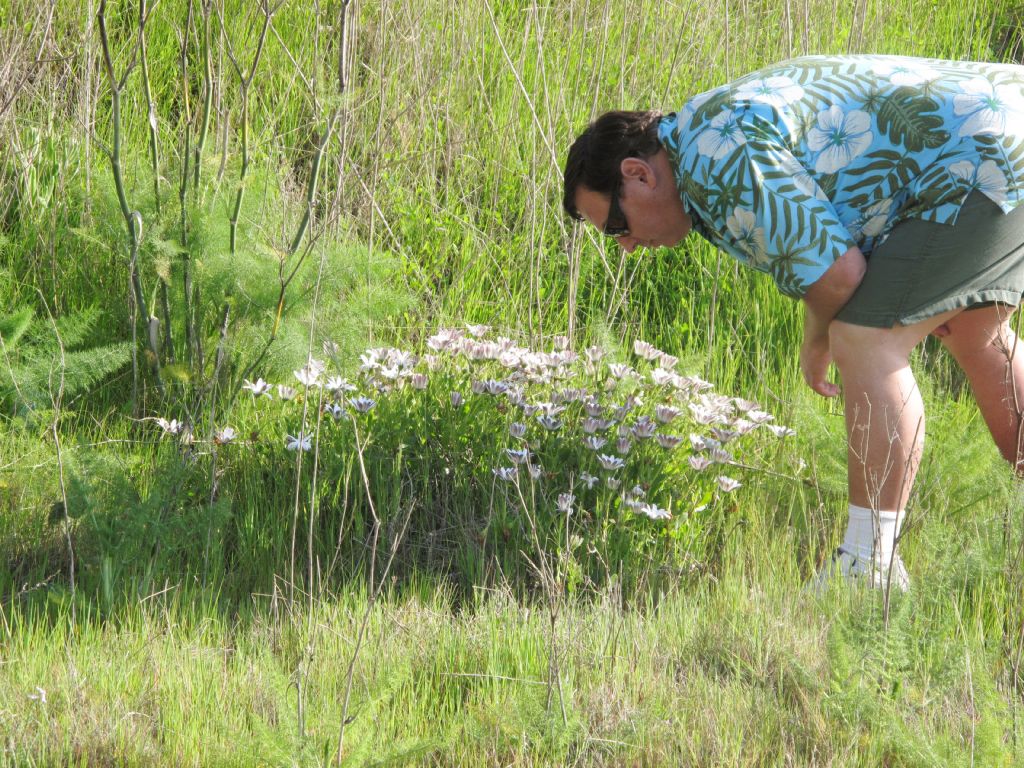
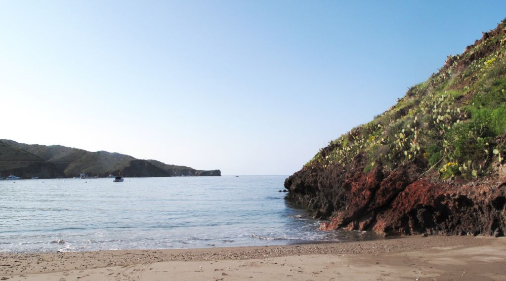
We spent the remaining hour or so exploring the area around our camp, which included the rocky beach directly in front of it and the sandy beach slightly to the east. Here are some of the photos we took.


Tomorrow we plan to go kayaking and maybe see some of the town.
Stay tuned!