


| By: Paul S. Cilwa | Viewed: 5/6/2024 Occurred: 3/12/2016 |
Page Views: 961 | |
| Topics: #Places #Photography #PhoenixMountainsPreserve #PiestewaPeak #Arizona | |||
| All the photos I took while hiking the Piestewa Peak Summit Trail. | |||
A little over five years ago, I came down with an infection by flesh-eating bacteria. I was given a 20% chance of survival, spent two days in a coma, and all the skin and half the fascia were removed from my lower left leg, from just below the knee. There was a very real chance I would never walk again. But that was then, and this is now.
Piestewa Peak, at 2,610 feet, is the second highest point in the Phoenix Mountains, after Camelback Mountain, and the third highest in the city of Phoenix, Arizona. It is located in the Phoenix Mountain Preserve. Piestewa Peak is named in honor of Army Spc. Lori Ann Piestewa, the first known Native American woman to die in combat in the U.S. military, and the first female soldier to be killed in action in the 2003 Iraq War. The Piestewa Peak Summit Trail (elevation gain = 1,208 feet in 1.2 miles) is climbed thousands of times per week by locals and visitors seeking a cardio-vascular workout, great views, or a family outing. However, quite a few hikers do not actually reach the top due to the fact that this trail is more difficult than it looks. I, personally, have attempted more times than I've succeeded, albeit the first couple of attempts were when my leg was still weak from my necrotizing fasciitis. However, after all the hiking I've been doing recently, I felt that I had a good chance of making it this time!
This was also my first attempt to climb Piestewa solo. (Keith was home sleeping after a hard night's gaming.)
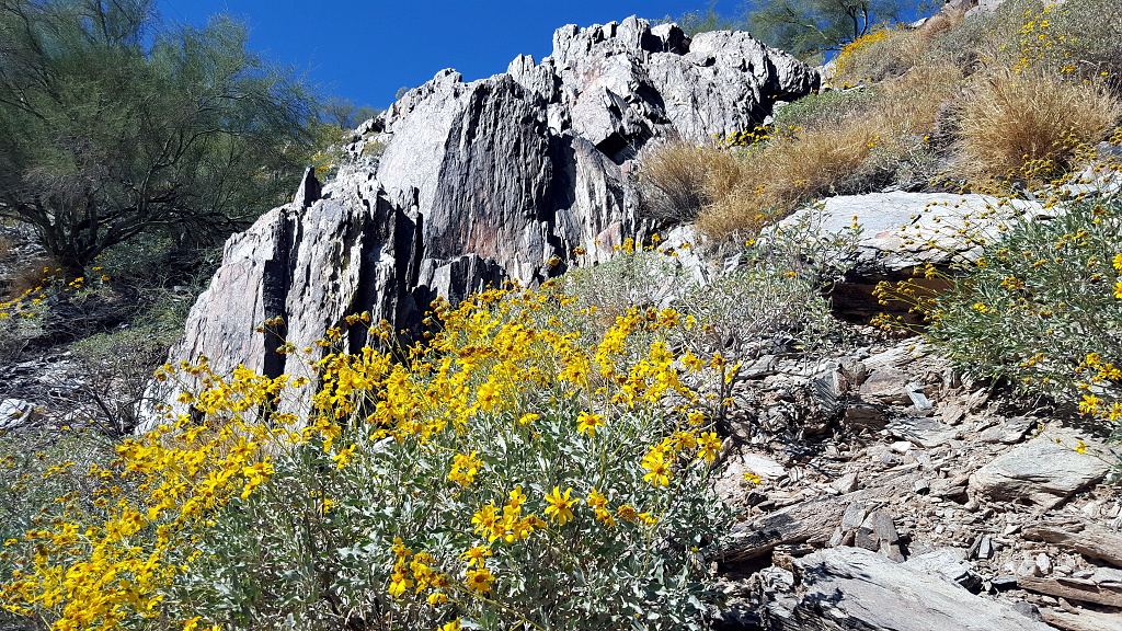
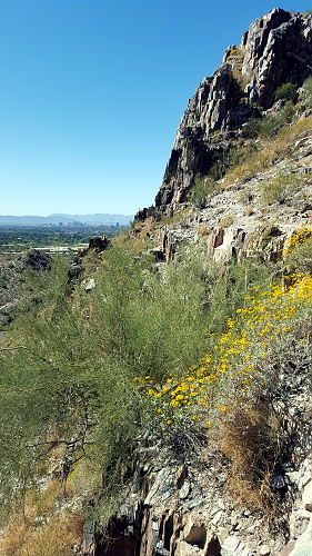
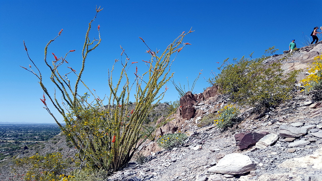
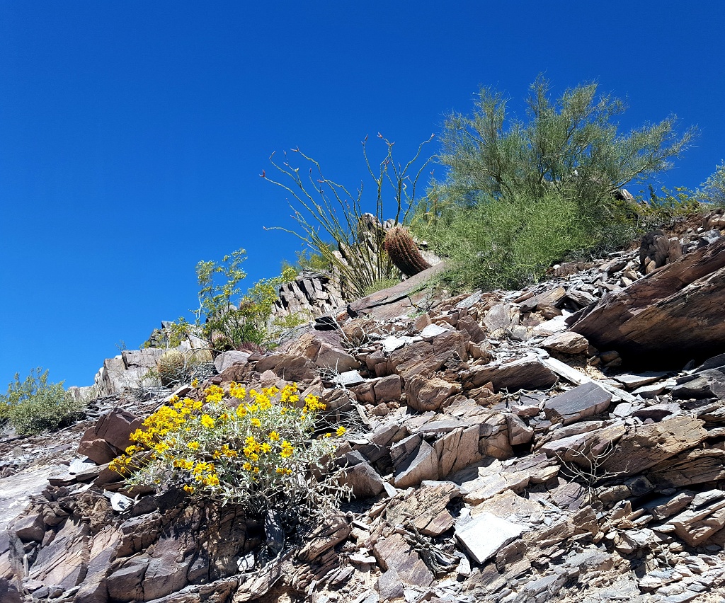
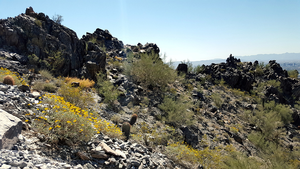
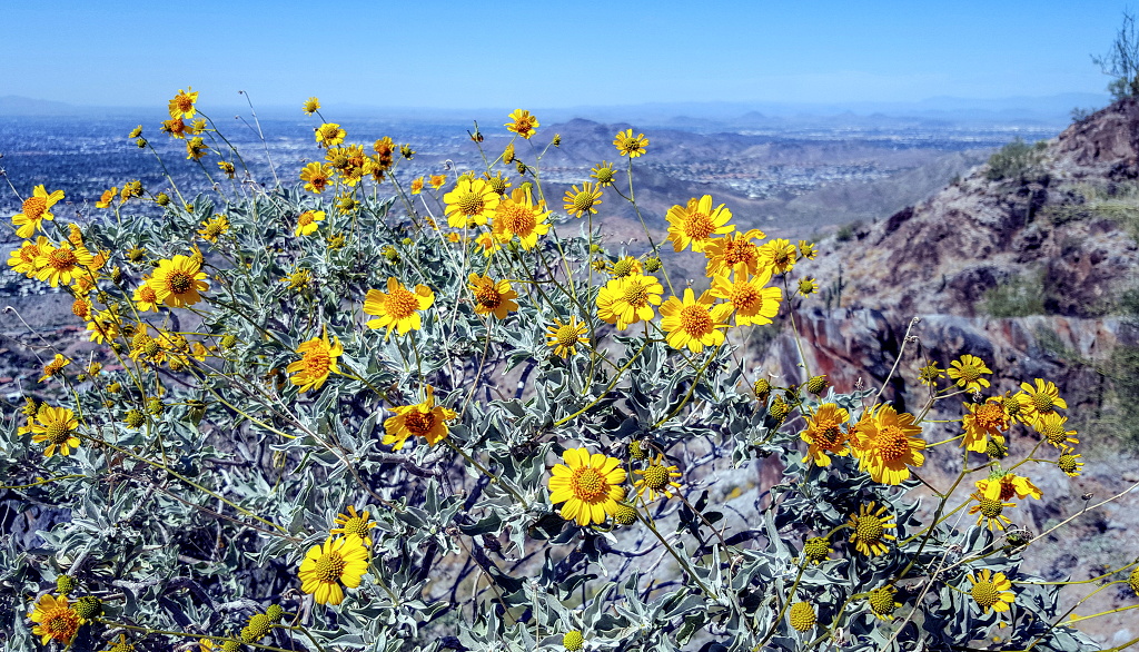
The brittlebush were blooming, of course, especially at the lower elevations of the trail.
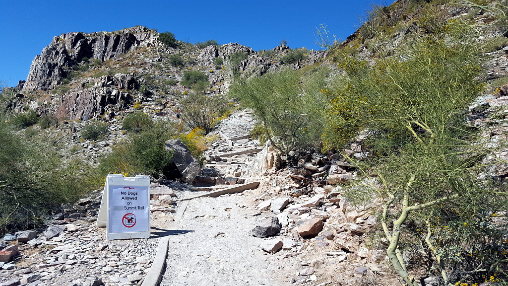
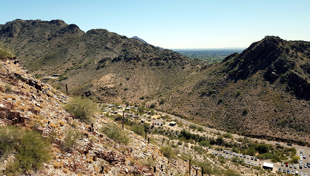
The Piestewa Summit Trail (300) provides gorgeous views almost as soon as one starts climbing, making the lower parts of the trail not a waste of time if one doesn't make it all the way to the top.
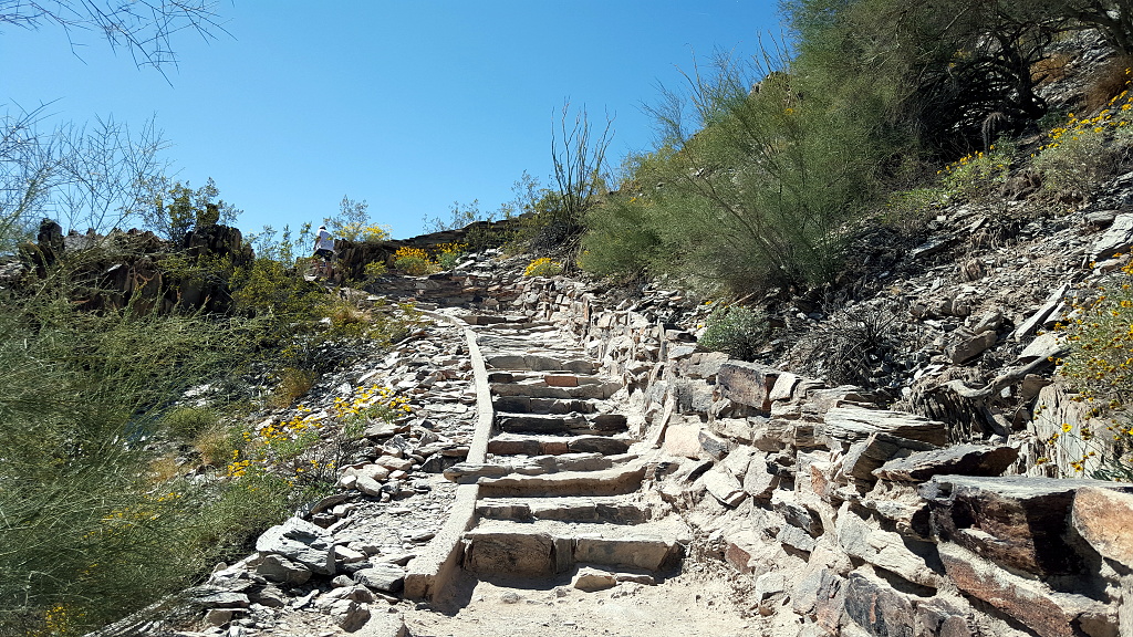
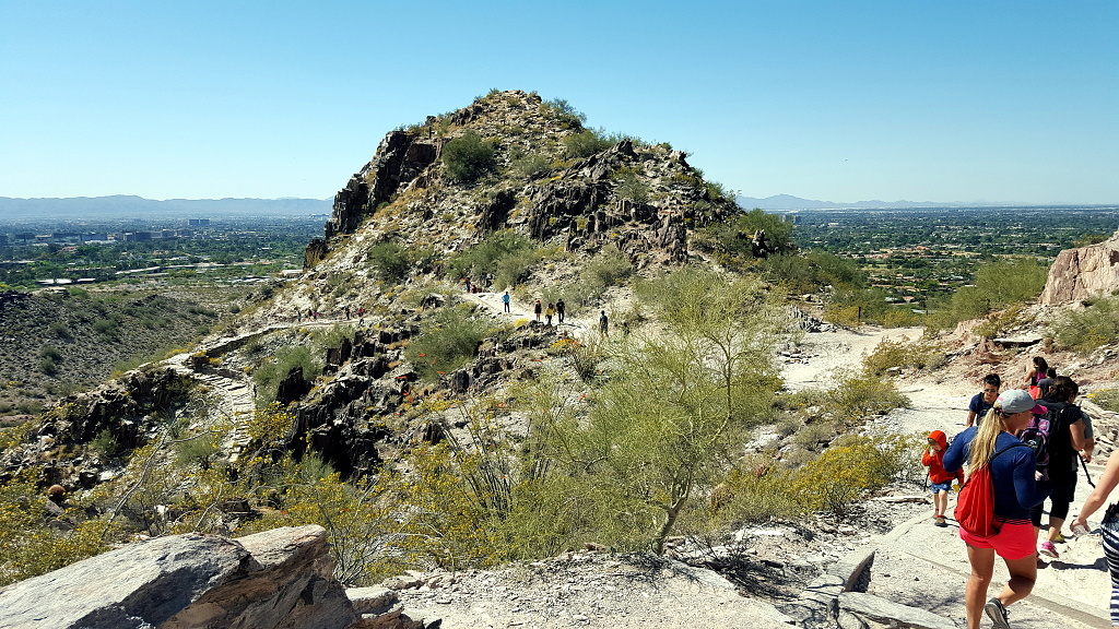
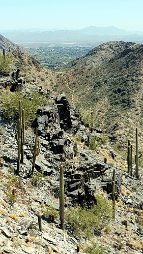
Most hikers focus on the path ahead, but I like to stop every now and then. I'm resting, to be sure; but also I like to see where I've come from. In the below photo, you can the many switchbacks leading to where I was...which wasn't really very far along.
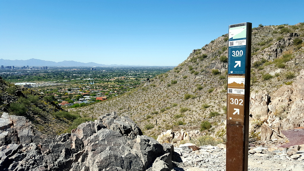
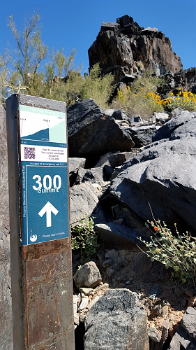
There are several trail posts that not only assure the hiker he or she is on the right trail, but also letting us know how far we have left to the summit.
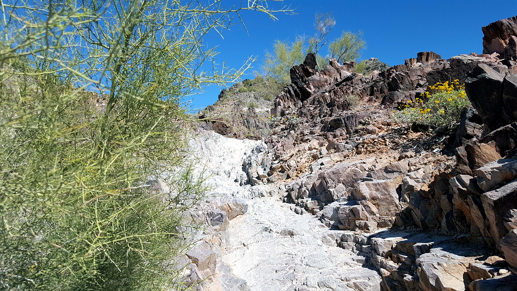
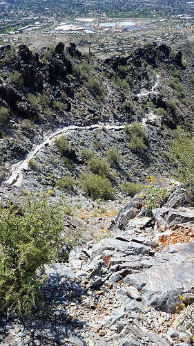
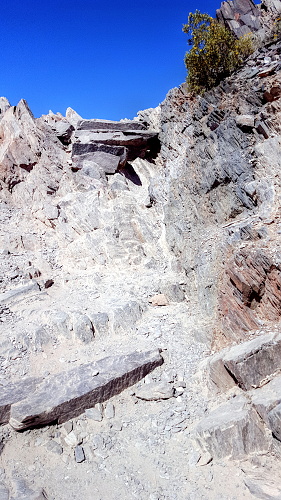
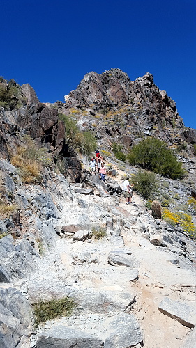
The hike itself takes anywhere from 25 to 60 minutes in fair weather, depending on each hiker's capabilities (higher temperatures and sunny conditions may force the hiker to take up to twice as long). A beginning hiker should allow 60 minutes for a leisurely ascent and 40 for descent (I took a little longer, but not much). The path is mostly well marked. There are four spots that are confusing but I just waited until someone came down from the summit to show me where to go. There are a few sections that are technically difficult as they are steep but there are now a few guard rails.
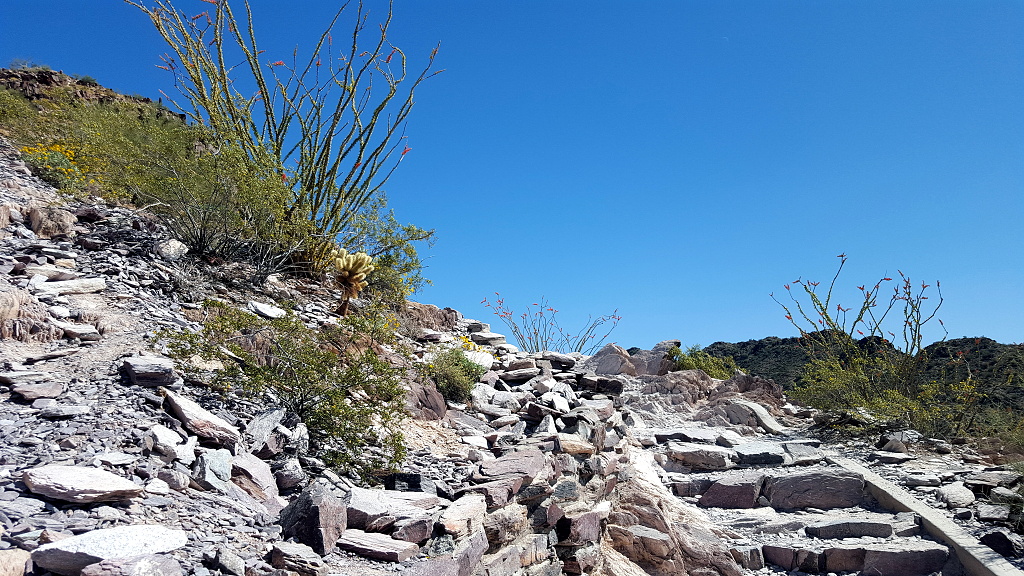
The ocotillo is just starting to join the brittlebush in blooming.
A week or so ago, Keith and I hiked a trail on the other side of Squaw Peak Road, and I took a photo of the trail I am on now, from it. So, today I returned the favor and photographed that trail from here!
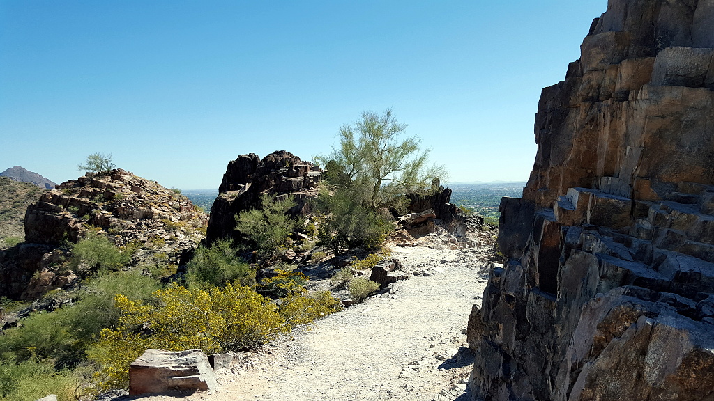
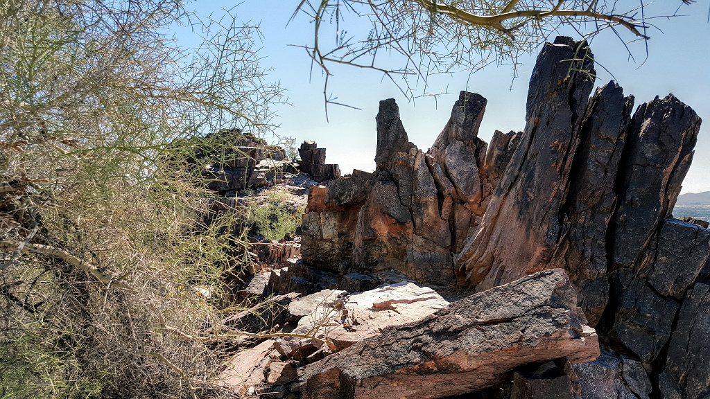
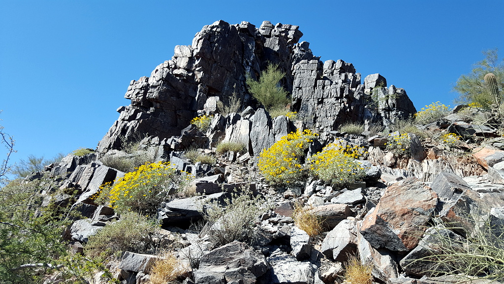
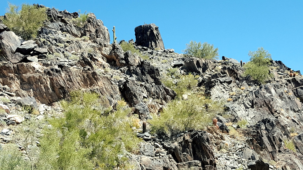
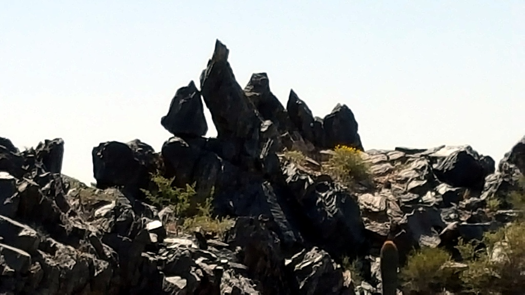
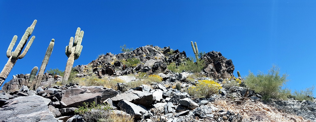
As one reaches the higher elevations, one encounters more outcroppings of rock.
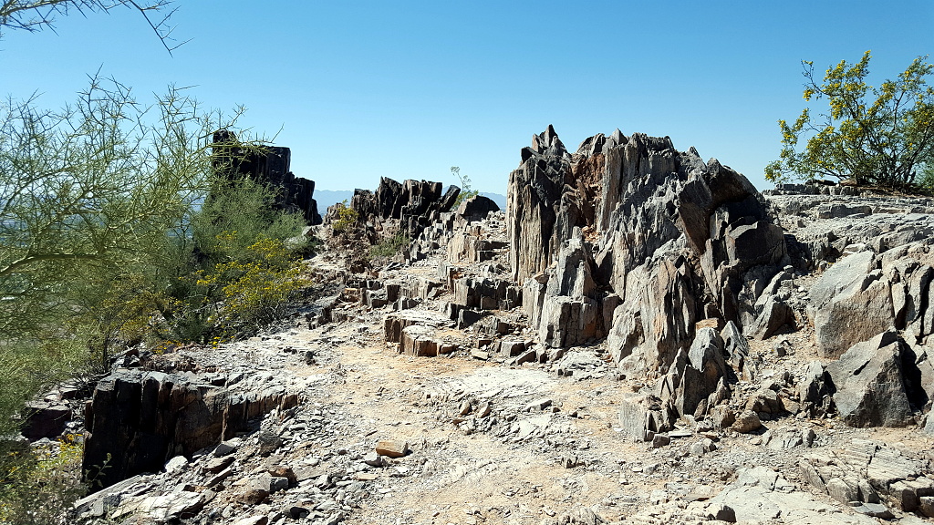
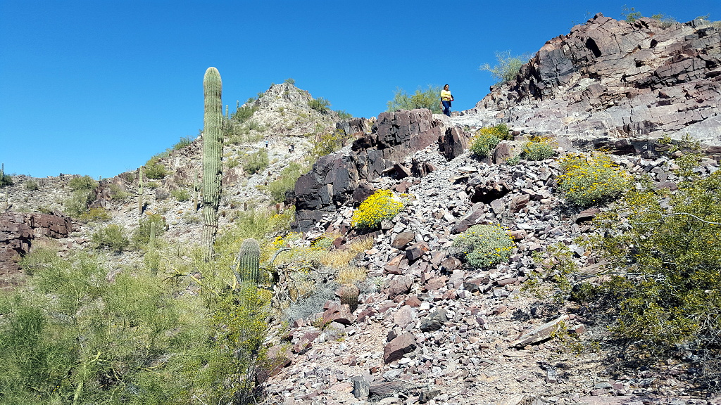
Piestewa Peak formed about 14 million years ago, when most of Arizona was covered with volcanoes. The outcroppings are the dregs of what the volcanoes spit out.
I took a break at about the halfway point.
As I hiked the summit trail, I naturally kept looking up and ahead in hopes of spotting the summit. But each time I took a picture, like this one, that I thought might be the summit...it turned out it wasn't.
According to the sign, I've gone more than halfway to the top!
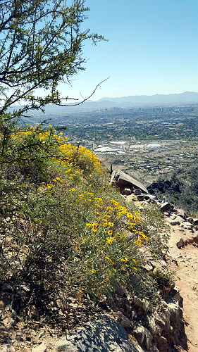
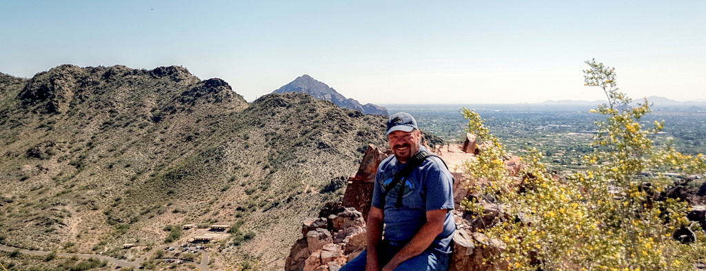
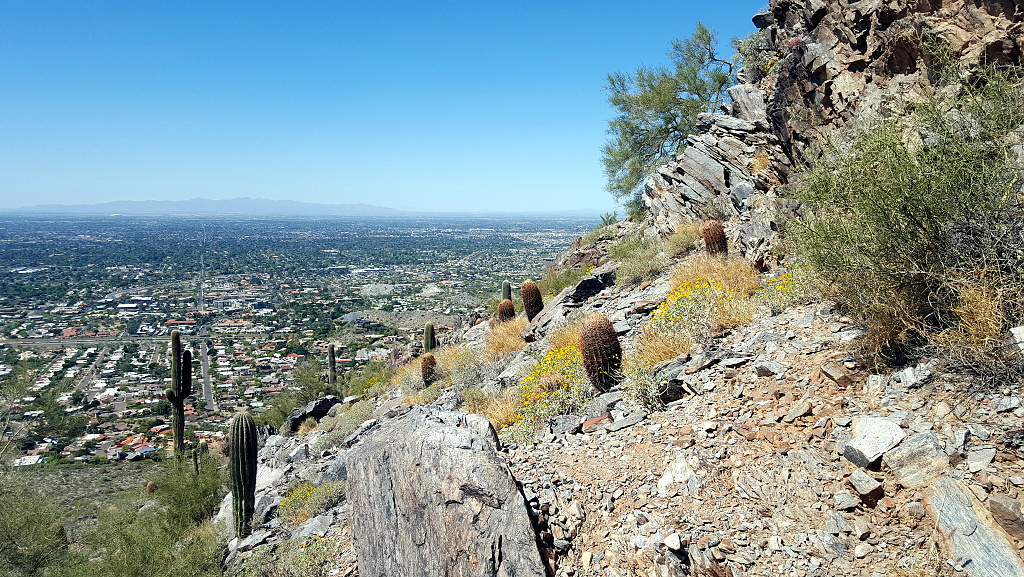
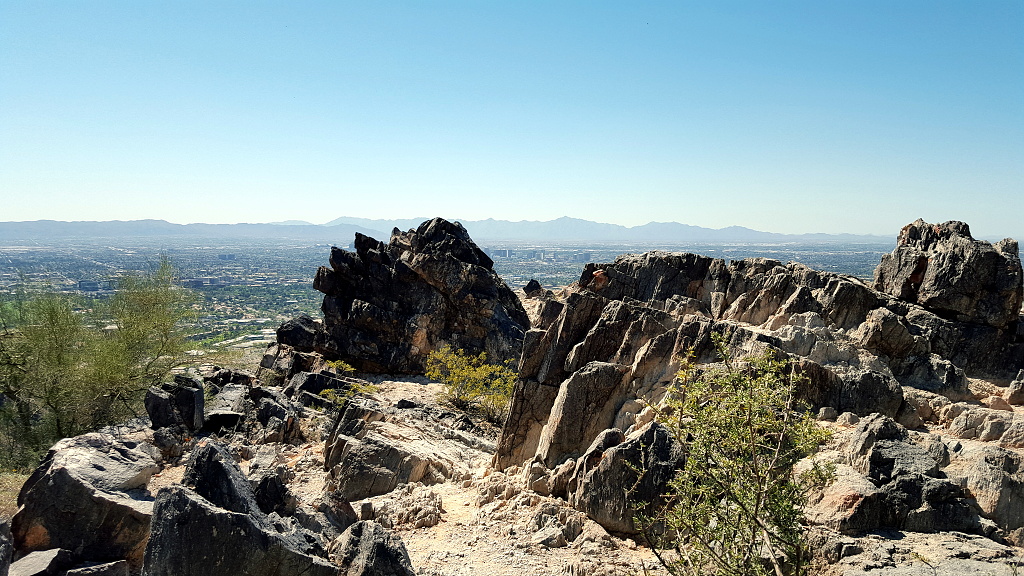
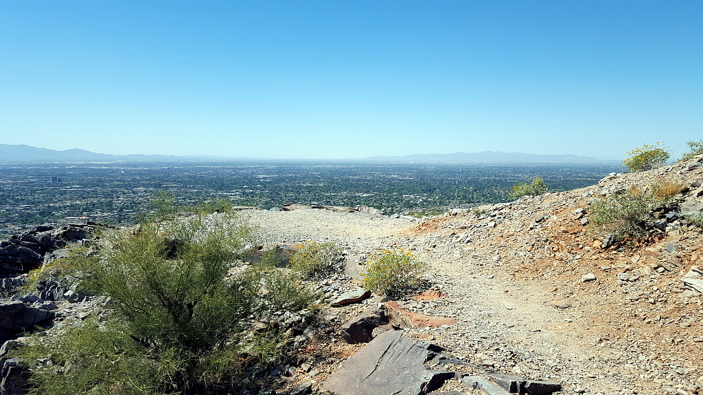
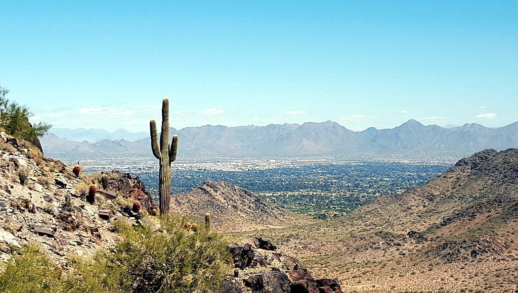
Piestewa Peak is, literally, in the middle of Central Phoenix and the Greater Phoenix Valley. (It's also about 10 minutes' drive from my condo.)
Am I happy I've made it this far? Yes, I am!
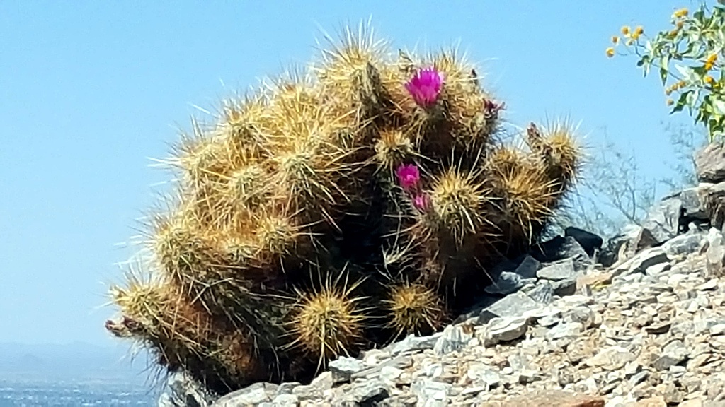
Blooming cactus!
Hardly a weekend goes by that I don't see the medevac helicopter coming or going from midway up Piestewa Peak. This is the helipad. It's off a side-trail and not visible from the main trail. I once saw a chopper land here and a bunch of EMTs jump out to run further up the trail, complete with stretcher. In awhile they came back down with a guy who was, I guess, in bad shape. I don't begrudge him, though, because later that same trip, I got sick as a dog and was worried I might need the helicopter for myself. Fortunately, I was able to recover but that was a trip I did not make it to the summit.
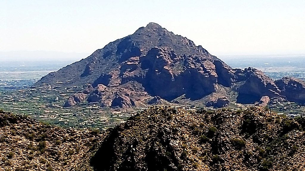
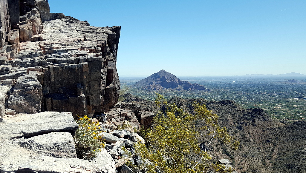
The tallest mountain in the Valley is Camelback, even higher than Piestewa, as you can see in this photo. Since it was taken near the top of Piestewa, seeing how high above the horizon the peak of Camelback extends, gives you an idea of it's height.
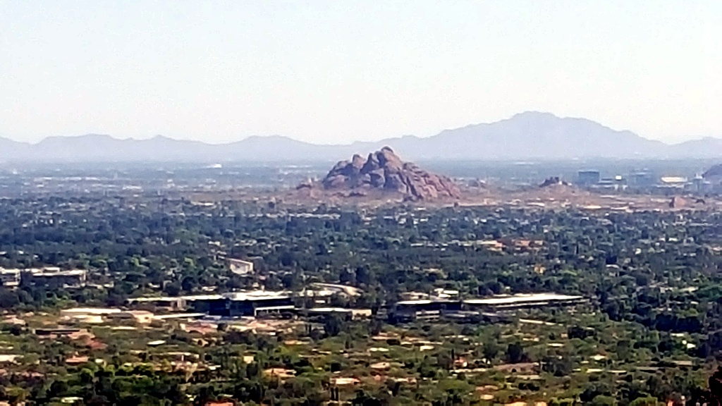
This is Papago Peak, another popular hiking destination, though the hikes it offers are much easier than either Piestewa or Camelback.
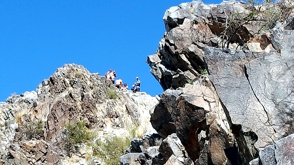
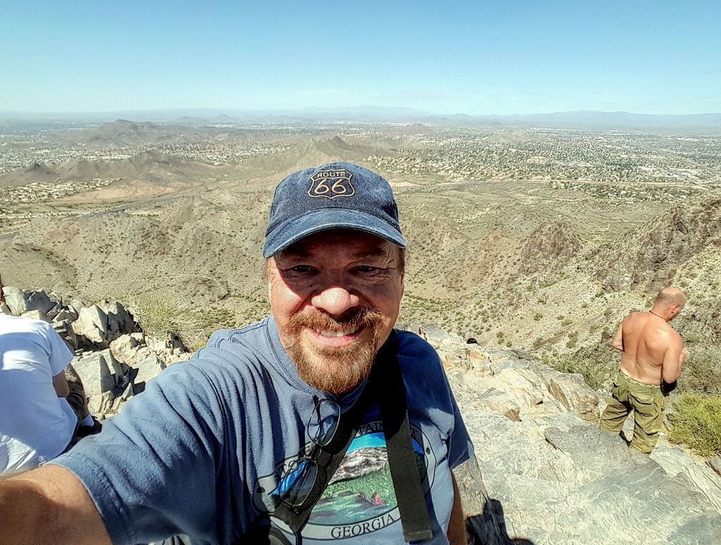
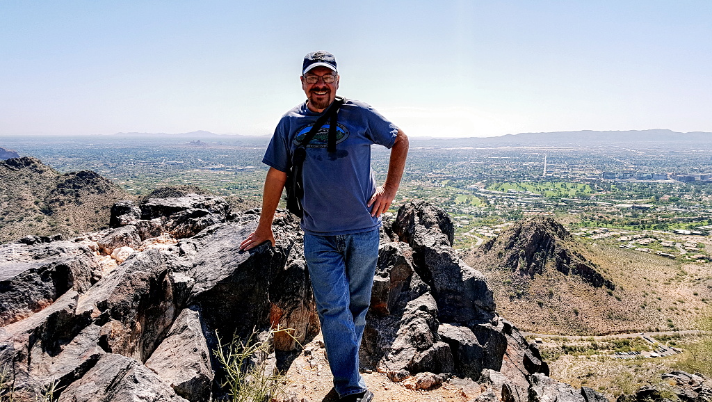
AT LAST!!! The actual summit!